Sunday, November 22: Geology Exploration of the Upper Santa Ynez River
Field Trip with Susie Bartz.
Sunday, November 22, 9:00 a.m.–3:00 p.m.
Advance registration required at synature@west.net or 693-5683.
Participation is limited to 20. Members free/nonmembers $20.
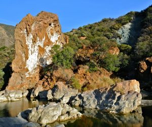
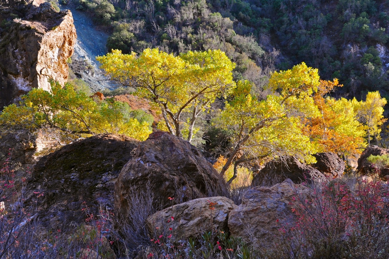
 The Santa Ynez River is a braided meander belt that finds its way along the north side of the Santa Ynez Mountains, flowing west to the ocean at Lompoc. We’ll be exploring the river near the harsh convergence of the Little Pine and Santa Ynez faults. There, the river cuts a sinuous route through rock layers whose steep folds reflect intense tectonic compression. Within the faulted area, springs and mineralization of fault-gouged rocks enrich both their color and their composition. Both rocks and flora promise startling color as well as fascinating history in both geologic and human time.
We will begin with an orientation at the Live Oak Picnic Area on Paradise Road. Here we’ll explore river dynamics, the Gibraltar Dam impoundment, exposures of rare algal limestones, and other marine fossils. Then we’ll drive another mile to the Redrock trailhead and walk along the river, crossing the Little Pine fault at two places as we approach the old quicksilver mines. Throughout the trip Larry Ballard will provide additional commentary on the riparian flora.
Plan on walking about 3 miles round trip on mostly level terrain. Hiking poles are highly recommended, since any scrambling around the river rocks will make them useful. Bring water, lunch, good solid shoes or boots, broad brimmed hat, and sun protection.
Susie Bartz worked at the Santa Barbara Museum of Natural History to publish the maps of legendary geologist Tom Dibblee. She currently assists community organizations to help bring an awareness of earth sciences to children, teachers, and the general public.
Photos: John Evarts


